
")

Holographic Maps
Three-dimensional stereoscopic holographically-printed maps.
 Already since the early 90s, the US military made use of digital holographic maps of full horizontal and vertical parallax during the first Gulf War based on stereoscopic sattelite terrain data. In spite of the recent developments on stereoscopic 3D monitors projecting real-time data and the respective shortcoming of holographic maps being limited to constant information, such maps have attracted the interest of the Geographical Services of various national armies, including that one of Greece. In fact, only recently ZEBRA IMAGING Inc. of USA, pioneer manufacturer of holographic maps, publicly indicated that more than 11,000 digital holographic maps of this type had been delivered for military use until the end of 2011 whereas at the same period one complete integrated holographic printing line was about to be installed for the first time outside of the USA.
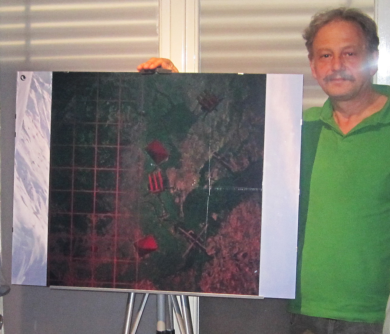
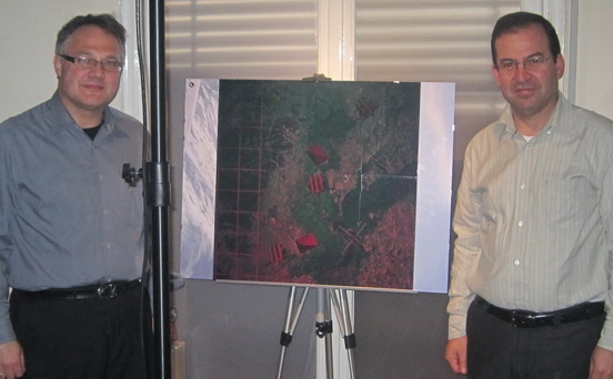 The Hellenic Institute of Holography cooperated with Lt. Col. Babis Paraschou, Chief Geospatial Officer of the NATO Deployment Corps (NDC-GR) based at the city of Thessaloniki in the making of one trial holographic map, for which geographical information data freely available on the web were used (true-colour satellite terrain picture of an area near river Evros in Northern Greece).
After a detailed control of the reliability of the terrain morphological sattelite data, a composite 3D virtual model of the area was digitally developed which was further digitally processed in a manner suitable for its printing in a 60x60cm digital full-colour animated hologram with 3 channels: area in full resolution, zoom over a specified part of the territory and an area with an over-imposed coordinates grid. You may form a visual impression of the final result by watching the below anaglyph video preview with the aid of common blue/red glasses.
 Select this image to watch the video
 Embossed geophysical map of Greece (1950s, GIS-GR)
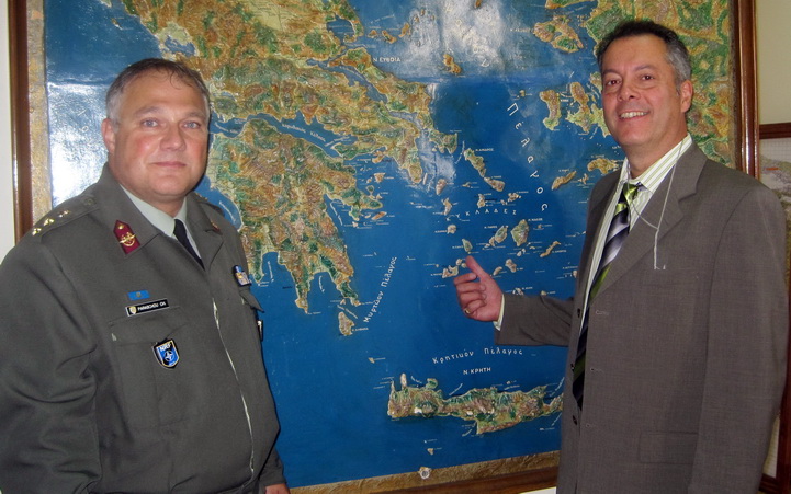
The final result fully justified the initial involvement of the Hellenic Institute of Holography in this trial project, which was incidentally presented at the London international conference DGI2012 (Defence Geospatial Intelligence) (watch this presentation here). As a result, it was agreed that the cooperation with the Geographical Services of the Greek National Army will continue in order to produce not only the next generations of such functional holographic maps for military purposes using real sattelite geographical information data but also the joint development of an R&D program combining digital holographic maps with real-time field data.

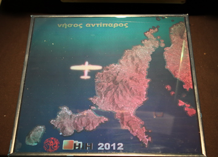 Click on the image to watch the videoThe next stage (2012) involved the production of a full-colour digital holographic map of the island of Antiparos in the Cyclades, in full horizontal and vertical parallax at 290x290mm size, printed on photopolymer material by ZEBRA IMAGING (USA). For this map, relief data from the National Kadaster were used in cooperation with the Hellenic Military Geographical Service (HMGS) under the supervision of Col. Ger. Siantikos, commander of HMGS. This map was the product of a successful dissertation (see it here in Greek) by Cpt. Dim. Goulas for the Photogrammetry Lab of the School of Agronomy & Topographic Engineering at the Metsoveion National Polytechnic University (supervisor Prof. Andreas Georgopoulos). Furthermore, it was among the displays of the 'Exhibition of Historical Maps from the Balkan Wars' organized by the 3rd Military Corps at the War Museum of Thessaloniki (Sep/Nov 2012) on the occasion of 100 Years anniversary since the liberation of the city (from where the adjacent video was filmed).
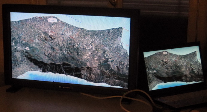 Preview of the island of Kos on a 45'' 3D-autostereoscopic glasses-free monitor